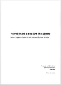
 Euler’s famous “Königsberg bridge” question, dating back as far as 1736, is often seen as the starting point of modern path finding – was it possible to find a path through the city of Königsberg crossing each of its seven bridges once and only once and then returning to the origin? Euler’s methods formed the basis of what is known as graph theory, and which in turn paved the way for path finding algorithms. Traditionally, network analysis, path finding and route planning have been the domain of graph theory and vector GIS, which is where most algorithms find their application. Contrary to such common wisdom, the research of this thesis for the Msc in GIS explores the topic of network analysis in raster GIS, using MFworks as example software. Current algorithms, procedures and network modelling techniques are investigated and common artefacts are explained.
Conclusions
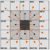
An extension of Tomlin’s directional identifiers is proposed, allowing the modelling of non-planar features. Along with this, the integration of time- dependent travel cost variables is achieved through linking MFworks with an external Visual Basic application for updating the cost-of-passage surface, demonstrating that such interaction extends the inherent capabilities of a GIS engine. Another conclusion to be drawn from this paper is that network analysis in raster GIS is a variant of surface analysis.
Read online
MFWorks Tutorial
This insights gained in this thesis were later used for developing a tutorial for network analysis in raster GIS using MFWorks.
Reference
Husdal, J. (2000). How to make a straight line square. Network Analysis in Raster GIS with time-dependent cost variables. Unpublished. Thesis for the MSc in GIS at the University of Leicester, UK.
Related
- husdal.com: Network analysis in raster versus vector GIS
- husdal.com: Book Review: This is where raster GIS started
- husdal.com: How to use MFworks for network analysis
- husdal.com: Corridor analysis – a timeline of evolutionary development

