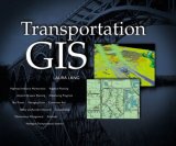
 This book showcases many examples of how GIS can be applied in the field of transportation using ArcView GIS, but it doesn’t come with any theory. As such, Transportation GIS
 more like an overpriced ESRI sales brochure and not a textbook. Nevertheless, the examples are really neat and should inspire any practitioner in the field.
Showcase after showcase
The book is published by ESRI Press, and describes very well what you can do with ArcView GIS, in showcase after showcase, with stunning illustrations. However, there is not much analysis or explanations as to how the results came about.
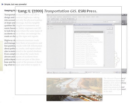
For a GIS Analyst working behind the computer scenes this book is almost worthless, for the GIS Manager this book is almost priceless, showing in detail all that can be done (and that you may want to ask your GIS Analyst to do).
One big commercial
After reading the book I feel like having watched an ArcView commercial. I’m thrilled at the possibilities, but did I learn how to use GIS for transportation? No.
Reference
Lang, L. (1999) Transportation GIS. ESRI Press.
Author links
- JMR Consulting: Laura Lang
amazon.com
- Buy this book at amazon: Transportation GIS
Related
- husdal.com: Book Review: GIS for Transportation – Principles and Applications
- husdal.com: GPS for Vehicle Routing and Tracking
- husdal.com: GIS for Transportation


